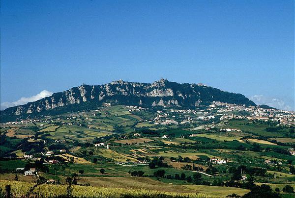
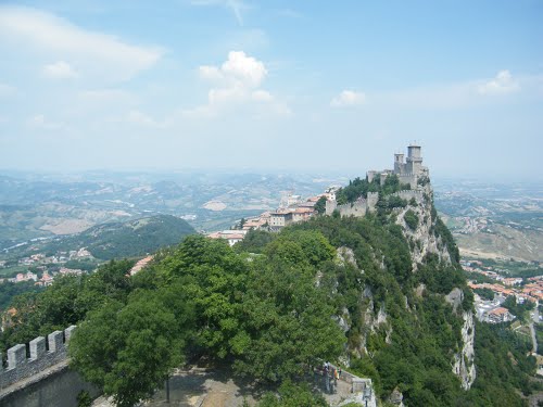
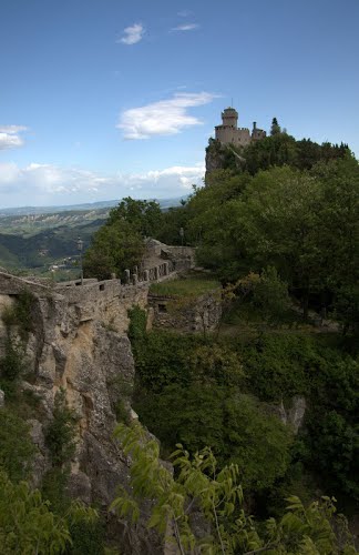
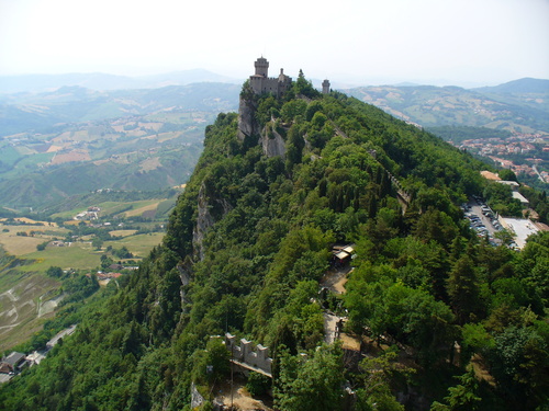
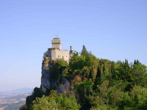
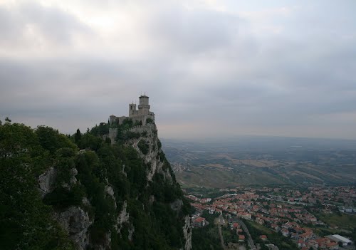
Monte Titano is a mountain of the Apennines and the highest peak in San Marino. It stands at 739 m above sea level and is located immediately to the east of the capital, San Marino. It was inscribed as a UNESCO World Heritage Site in 2008 under the combined title "San Marino Historic Centre and Mount Titano". They encompass an area of 55 ha with a buffer zone of 167 ha. It encompasses Mount Titano and the other structures such as the fortification towers, walls, gates and bastions, as well as a neo-classical basilica located on it and its slopes forming a small but unique urban conglomerate.
Straddled on the ridge of Mount Titano is the city of San Marino of the Republic of San Marino, the history of which dates from the early 4th century. According to the legend related to the Mount and its precincts a small monastery existed on top of the Mount during the 8th century. The mountainous landscape provides excellent views of its surroundings, and its isolated location ensured the needed seclusion for San Marino to survive as a Republic over the past several centuries.
Geography and environment
Monte Titano is located in central San Marino, to the southeast of the City of San Marino and to the north of the village of Murata, at a distance of 10 km from the Adriatic Coast. Monte Titano looks like a rugged limestone outcrop, located only 13 kilometres from the Adriatic Sea on the Apennines. Although the highest point is 739 metres above sea level, the rocky outcrop is about 200 metres in height at most. From the top of Monte Titano views of the entire nation of San Marino and further afield can be viewed scenically. The mountain gives birth to several streams, including the San Marino River, which flows down its western slope through a broad valley and flows into the Marecchia River, through Marecchia Torello and into the Adriatic Sea 23 km away and the Cando River, born in Marano, which flows into the Adriatic coast between Rimini and Riccione Ausa. The terrain has fertile soils in Emilia Romagna plain and soft rolling hills in the Marche and Montefeltro region. The mountain dips into the calm Adriatic sea.<>/p>
During the Tertiary era, the area where San Marino lies was the sea. Violent earthquakes caused major upheavals in the Earth's surface. Because of these intensive earthquakes, a mass of rock situated about 80 km from the mountain, was lifted and slid slowly toward the Adriatic Sea. This mass of rock gave rise to various mountains, including Mount Titano. The vertebrate fossils found on the slopes of Mount Titano are mostly aquatic in origin, because of the fact this rock was once located underneath the sea in its current spot. Fossils of various fish, especially the fossils of shark teeth have been discovered on Monte Titano, with many dated to the Miocene period. The most important fossil discovery is that of a whale, which is now preserved in the Bologna Archaeological Museum.
The precincts of Monte Titano and the San Marino city experiences mild temperate climate; the maximum temperatures reported is of 26 °C in summer while the minimum is −7 °C in winter.

